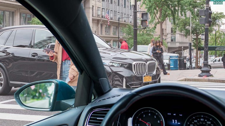
New IIHS measurement technique points to growth in vehicle blind zones (IIHS-HLDI)
Shift into Safe
The forward blind zones of six top-selling passenger vehicles grew substantially over the past 25 years as pedestrian and bicyclist fatalities soared, a comparison technique developed by the Insurance Institute for Highway Safety (IIHS) shows.
A recent study led by researchers from the U.S. Department of Transportation’s Volpe Center is the first to use the new method that IIHS developed for measuring a driver’s direct area of vision around a vehicle. The technique promises to enable much broader studies of the role that vehicle design plays in driver visibility and crash risk.
Over multiple redesign cycles from 1997 to 2023, forward visibility within a 10-meter radius fell as much as 58% for three popular SUVs, the researchers found. For a top-selling pickup, close-proximity visibility declined by a smaller 17%, but even the earliest model had extremely large blind zones. In contrast, the early models of the two cars provided relatively good visibility that fell less than 8% in later generations.

“The across-the-board decrease in visibility for this small group of models is concerning. We need to investigate whether this is a broader trend that may have contributed to the recent spike in pedestrian and bicyclist fatalities,” IIHS President David Harkey said.
“This study also illustrates that the new method developed by IIHS gives researchers a straightforward, repeatable way to assess driver visibility,” he added.
In the past, researchers who wanted to compare the blind zones of different models needed to acquire engineering drawings or position each vehicle in an open area specially marked with grid lines or traffic cones. Because these methods were so cumbersome, no large-scale comparisons were attempted.
An alternative technique using lasers is efficient, but it does not capture the blind zones created by the side mirrors and widening base of the A-pillars.
The new IIHS method relies on computational software and a portable camera rig that can be positioned in the driver seat at various heights to represent different-sized drivers, no matter where the vehicle is located. The camera rotates to take a 360-degree image of the field of vision around the vehicle. The software then converts that image into a blind zone map that depicts an aerial view of the vehicle and the nearest points on the ground that the driver can see. It also provides a numerical value for the percentage of the area around the vehicle that is visible.
