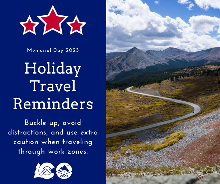
Memorial Day weekend kicks off summer travel across the state
Travel Advisory

Statewide — Summer traffic ramps up as travelers head to the mountains and other recreational areas across the state beginning this upcoming Memorial Day weekend.
The Colorado Department of Transportation encourages travelers to know before they go and plan ahead for their summer trips. The planning includes being aware of construction zones along the Interstate 70 mountain corridor, preparing for adverse summer conditions, taking advantage of transit options, and knowing the status of mountain pass openings. Along with camping equipment, hiking boots, mountain bikes, fishing poles and sunscreen, you should come equipped with the information below:
Memorial Day Travel Weekend Traffic
Heavy traffic is anticipated along the Front Range and mountain highways, especially on westbound I-70 on Friday and Saturday, and eastbound I-70 from Eagle County to the Denver area on Memorial Day. Other mountain roadways, including US 24, US 34, US 36, US 50 and US 160 should also expect increased traffic.
To help improve traffic flow, CDOT is suspending all construction and maintenance projects from noon Friday, May 23 until Tuesday morning, May 27. The only exception is for emergency operations.
Although it is not the busiest of the summer travel weekends, Memorial Day experiences significant amounts of traffic. In 2024, approximately 154,000 vehicles traveled through the Eisenhower/Johnson Memorial Tunnels over Memorial Day weekend. The most heavily traveled days were going westbound on Friday and eastbound on Memorial Day.
The breakdown of last year's travel numbers is below:
- Friday, May 24 - 24,473 vehicles traveled westbound and 16,457 vehicles traveled eastbound for a total of 40,930
- Saturday, May 25 - 20,980 vehicles traveled westbound and 15,262 traveled eastbound for a total of 36,242
- Sunday, May 26 - 16,606 vehicles traveled westbound and 20,751 traveled eastbound for a total of 37,557
- Monday, May 27 - 14,650 vehicles traveled westbound and 24,763 traveled eastbound for a total of 39,413
I-70 Mountain Corridor Travel Map and Guide
Go to I-70 Mountain Corridor: Golden to the Utah Border to view maps that highlight construction projects and impacts. CDOT will release a detailed outlook on summer construction next week.
Mountain Express Lanes
An Express Lane is located in both directions on I-70 between Idaho Springs and Empire. The toll lanes are open during peak period travel times, mostly weekends and holidays. Enter and exit the Express Lanes through the dashed lines only, do not drive in the Express Lanes when they are closed and do not travel in the lanes with an oversized vehicle. When these lanes are closed, they are used as an emergency shoulder for disabled vehicles. For text alerts, text xpresslanes (one word) to 2100. Visit the web page: I-70 Express Lanes: Idaho Springs to Empire.
Mountain Passes
- Colorado State Highway 5 – Mount Blue Sky: closed for construction until the summer of 2026
- Colorado State Highway 82 – Independence Pass between Twin Lakes and Aspen: opened to traffic on 4 p.m. Thursday, May 22. For the most up-to-date travel information, visit COtrip.org
- Trail Ridge Road (US 34) between Estes Park and Grand Lake (Rocky Mountain National Park). For the current road status, call 970-586-1222
- Guanella Pass between Georgetown and Grant. For the current road status, call 303-679-2422, extension 2
Kebler & Cottonwood passes. For the most up-to-date conditions, visit gunnisoncounty.org/158/Roads-Bridges
Scenic Byways
Another option for travelers this summer is to explore one of Colorado’s 26 Scenic and Historic Byways. More information is available on the scenic byways web page.
Transportation Alternatives
CDOT’s Bustang transit system provides an alternative for those who would rather not drive. Bustang serves I-70 between Denver and Grand Junction and I-25 between Fort Collins and Colorado Springs. Outrider is an option for travel through many rural areas of the state. And Pegasus shuttle vans serve the I-70 west corridor between Denver and Avon. Please visit ridebustang.com.
Spring and Summer Travel Safety Tips
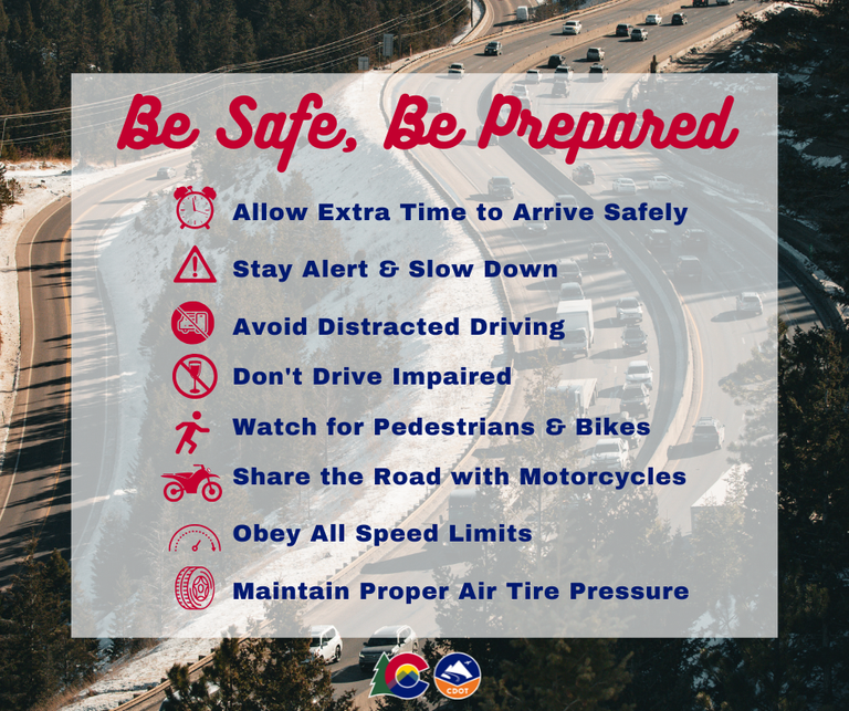
- As the weather gets warmer, watch for potholes. Winter’s freeze/thaw cycle weather can damage roadways, including the creation of potholes. Spring rain also can make them difficult to see. And they can damage your vehicle, requiring expensive repairs.
- Keep a safe following distance in case the driver in front of you reacts unpredictably. Avoid swerving to avoid a pothole.
- Slow down for spring showers. Roads become slick when it first begins to rain because rainwater mixes with road contaminants, like oil and grease. Increase your following distance to allow for proper braking.
- Watch for pedestrians and bikes. Warmer temperatures mean more people are outside walking or bicycling.
- Slow down and pay extra attention at crosswalks and along roadways.
- Share the road with motorcycles. Motorcycles may quickly come in and out of your blind spots due to their speed and size.
- Always take a second look with more motorcycles out on the road.
- Animals are on the move. Animal activity increases during the spring, either due to mating season or because they are waking up from winter hibernation. Deer are most active at dawn and dusk.
- Maintain proper tire air pressure. Tires lose air due to the cold winter temperatures and now can be underinflated.
- Warmer temperatures can cause tires to be overinflated. Inspect your tires. Adequate tire tread is important for safe driving in wet weather because the tread moves water away from the tire. Less tread means reduced traction.
- Obey posted speed limits and do not speed in work zones.
- Stay alert! Expect the unexpected.
- Expect delays, especially during peak travel times.
- Anticipate lane shifts and merge when directed to do so.
- Be patient!
- Drive sober and no texting!

Know Before You Go
Travelers are urged to “know before you go.” Gather information about weather forecasts and anticipated travel impacts and current road conditions prior to hitting the road. CDOT resources include:
- Road conditions and travel information: COtrip.org
- Download the COtrip Planner app: bit.ly/COtripapp
- Sign up for project or travel alerts: bit.ly/COnewsalerts
- Check scheduled construction lane closures: bit.ly/laneclosures
- Connect with @ColoradoDOT on social media: X, Facebook, Instagram and YouTube
Remember: Slow For The Cone Zone
The following tips are to help you stay safe while traveling through maintenance and construction work zones.
- Do not speed in work zones. Obey the posted speed limits.
- Stay Alert! Expect the unexpected.
- Watch for workers. Drive with caution.
- Don't change lanes unnecessarily.
- Avoid using mobile devices such as phones while driving in work zones.
- Turn on headlights so that workers and other drivers can see you.
- Be especially alert at night while driving in work zones.
- Expect delays, especially during peak travel times.
- Allow ample space between you and the car in front of you.
- Anticipate lane shifts and merge when directed to do so.
- Be patient!
Download the COtrip App!
The new free COtrip Planner mobile app was designed to meet the growing trend of information on mobile and tablet devices for the traveling public. The COtrip Planner app provides statewide, real-time traffic information, and works on mobile devices that operate on the iOS and Android platforms. Visit the Google Play Store (Android devices) or the Apple Store (iOS devices) to download!
