Pavement marking in Southeastern Colorado
Project Completed
About the Project:
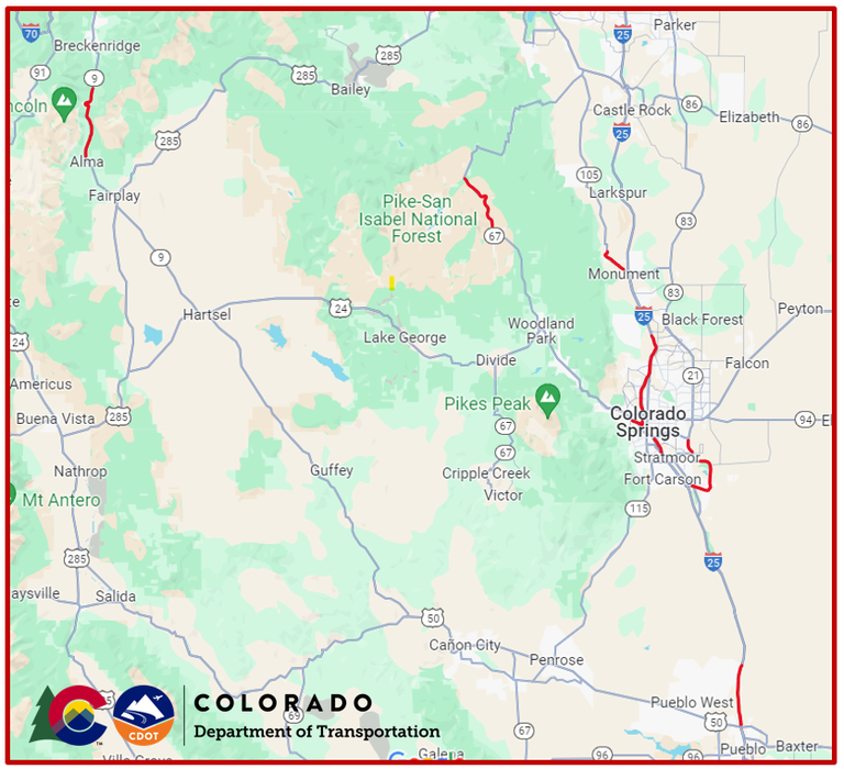
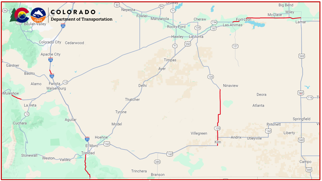
This project consists of pavement marking to multiple highways in Summit, Park, Douglas, Teller, El Paso, Las Animas, Huerfano, Bent, Prowers, and Pueblo Counties. Crews will remove existing pavement markings, add rumble strips and add new striping and markings.
Project Benefits
Benefits of this project include:
- The pavement marking will make traveling conditions safer with brighter more visible lines.
- Rumble strips produce noise and vibration which alerts drivers when they leave the travel lane. They are an effective measure for reducing roadway departure crashes.
Work Schedule:
Starting on March 4, traffic impacts will include:
- The first two weeks work hours will be Monday through Friday from 7 a.m. to 7 p.m.
- Then work will take place nightly from 7 p.m. to 7 a.m. Sunday through Thursday.
Traffic Impacts:
Motorists can expect the following impacts during the period of construction:
- Various mobile lane closures will take place within the work zones with reduced speeds.
- Plan ahead and expect short delays.
- This is a swift moving, mobile operation; although work zones will only be in place for a few hours, motorists are urged to use caution and watch for heavy equipment
- Through lanes and turn lanes may be temporarily closed to traffic causing brief travel delays
- Travelers are discouraged from passing the striping truck and crossing over fresh paint, as this may damage a vehicle’s finish. Please drive with patience during striping operations.
- Construction schedules could change depending on the weather.
- Go to COtrip.org for the latest information on road conditions.
Project Facts
- Construction Cost: $4,074,430
- Contractor: RoadSafe Traffic Systems
- Timeline: March through November 2024
- Locations:
- CO 9
- Mile points: MP 71 - MP 80
- Summit & Park Counties
- CO 67
- Mile points: MP 78.58 - MP 100.03
- Douglas & Teller Counties
- CO 105
- Mile points: MP 5.29 - MP 9.48
- El Paso County
- CO 24
- Mile points: MP 303 - MP 303.84
- El Paso County
- CO 21
- Mile points: MP 140 - MP 131
- El Paso County
- CO 16
- Mile points: MP 0 - MP 3.2
- El Paso County
- I-25
- Mile points: MP 109, MP 101.06, MP 58 - MP 59, MP 0 - MP 15.5
- Pueblo County
- Mile points: MP 0- MP 15.5, MP 58 - MP 59, MP 137 - MP 145
- El Paso County
- US 160
- Mile points: MP 282 - MP 286.43
- Huerfano County
- CO 109
- Mile points: MP 0 - MP 31
- Las Animas & Bent Counties
- US 50
- Mile points: MP 405 -MP 433
- Bent & Prowers Counties
- CO 9


