Special, Months-Long Survey Along US 160 uses Earth's Gravity to Measure Elevation

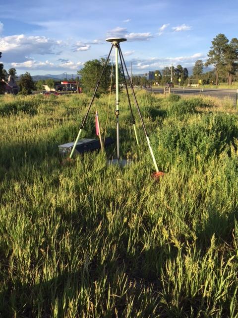
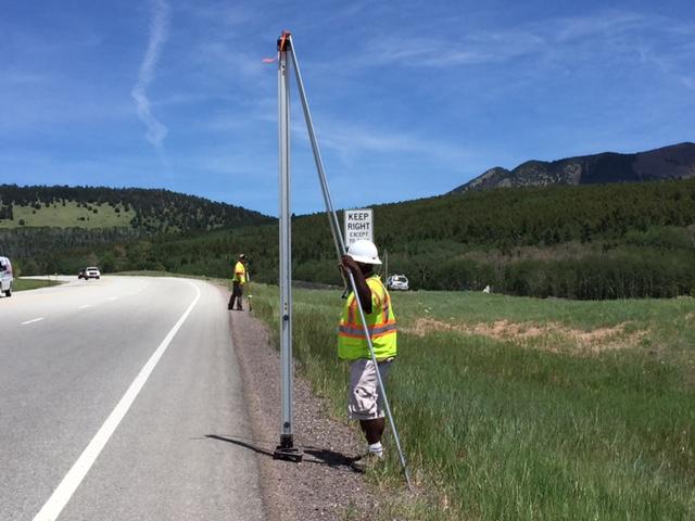
DURANGO—Drivers on US Highway 160 between Walsenburg and Durango may see survey activity for the next several months as the National Geodetic Survey (NGS) conducts a large field research project along much of the corridor. The project, known as the 2017 Geoid Slope Validation Survey, started in May and is expected to be completed in September.
Colorado was chosen for the survey testing because of its high, rugged terrain. The survey uses prepared concrete piers positioned approximately every mile. Survey teams will gather information from each of these points at different times throughout the summer.
The goal of the survey is to "ground truth," or confirm data results collected from a larger project, Gravity for the Redefinition of the American Vertical Datum (GRAV-D). The purpose of GRAV-D is to use accurate knowledge of the Earth's gravity field as a basis for precise elevation measurements.

NGS is an agency within the National Oceanic and Atmospheric Administration (NOAA). NGS provides the framework for all positioning activities in the United States, including elements of latitude, longitude, elevation and shoreline information, which is used by engineering, surveying and mapping activities in the United States across federal, state and local governments.
For more information about the survey project, contact NGS Project Manager Derek Van Westrum at 240-988-6341, or find information on the NGS website.
