
Did you know?
From 2015 to 2019:
- 47 semi-truck drivers have crashed on the west side of Wolf Creek Pass (US Highway 160)
- 3 truck drivers have been killed in crashes on the Pass
- Most crashes occur at the switchback curve near the Wolf Creek scenic outlook area
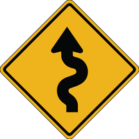
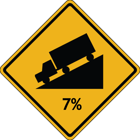 |
Prepare for the Trip
- Check your brakes before descending the Pass.
- Maintain a low speed in low gear, and use flashers to warn other vehicles of your speed.
- Do not "ride" the truck's brakes; this will cause overheating and possible loss of the brake system.
- You might consider Jake Brakes (or compression brakes) a useful braking mechanism to help control the speed of a heavy truck. However, the best practice is to remain in low gears to avoid overheating.
- Keep your brakes cool by pulling into brake stations, or onto the shoulder of the road, if you can locate a safe spot.
- Know size and weight restrictions by visiting CDOT's Restrictions & Maps webpage. Click on featured links such as "Weight Limit" or Height Restrictions" for specific information.
|
|
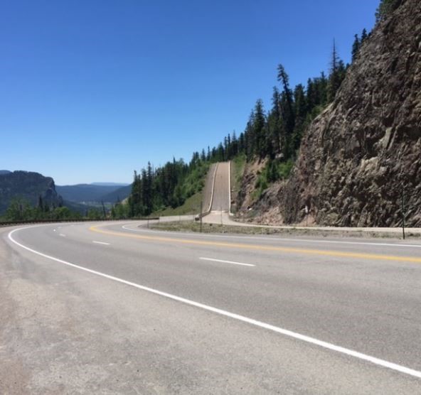
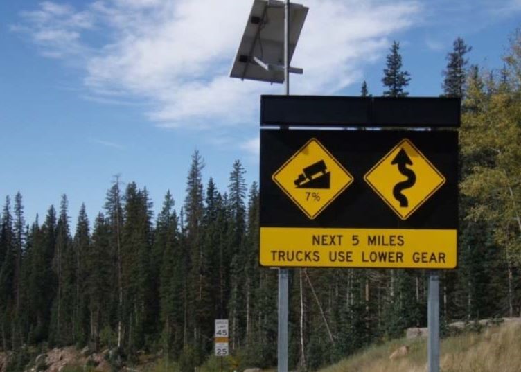 |
Using Runaway Truck Ramps
- Maneuver the trucks into the far right lane before approaching upgrade ramps.
- As the truck approaches the runaway ramp, steer straight and try to keep the wheels aligned.
- Ramps are narrow; attempt to stay in the center of the ramp to avoid any risk of rolling over.
- Once the truck is stopped, call 911 to report the incident, even if there are not injures.
- There is NO fee, penalty, or fine for using runaway truck ramps. The only costs associated would be any law enforcement fines associated with a possible citation (for faulty equipment or driving negligence), as well as any billing from the towing company for their services of recovering the vehicle.
|
Arm Yourself With Knowledge
- Know the road
Take the time to familiarize yourself with this mountain pass.
- Obey the speed limit
Westbound commercial vehicle drivers must maintain a speed of no faster than 25 mph downhill from the summit.
- Understand the steepness of the Pass
The west side of the Pass is at a 7% downhill grade.
- Anticipate curves
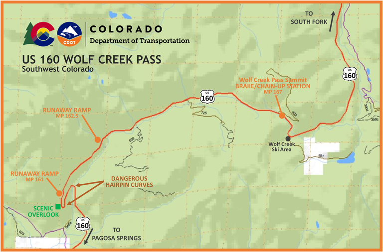
The Pass features a dangerous hairpin curve six-and-a-half miles from the summit.
- Know how far you'll travel
Drivers will travel more than eight miles from the summit (near the Wolf Creek Ski Area) to the west base of the Pass (near Treasure Falls).
- Identify public-access roads
Points of access along the Pass include a ski area, forest roads and a public scenic lookout.
- Know where to find brake and chain-up stations
Inspect your brakes at the summit before descending the eight-mile trip. A wide shoulder area is available to eastbound and westbound motorists. This area can also be used as chain-up station.
- Know where to find the runaway truck ramps
Two runaway escape ramps are available on the west side of the Pass for out-of-control trucks:
- At mile point (MP) 162.5, about 4.5 miles from the summit.
- MP 161, about six miles from the summit.
- Note: This is your last chance to use a runaway ramp.

 Un mapa de Wolf Creek Pass en español.


