Monarch Pass Automated Weather Observing System (AWOS) MYP
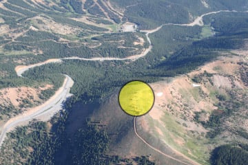
The Monarch Pass Automated Weather Observing System (AWOS) is located at the top of Monarch Pass on the south side of Highway 50. The AWOS is located at and elevation of 12,030 ft. MSL. If you ride the sky tram from the souvenir stand parking lot, the AWOS is about 50 ft. from the top of the tram.
|
Latitude |
Longitude | Frequency | Phone |
|---|---|---|---|
| N38° 29' 50" | W106° 19' 11" | 124.175 | 719-539-4436 |
Current Weather Conditions at Monarch Pass
FAA Weather Camera View & Weather Information
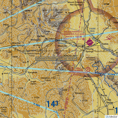
Sectional Chart
Video of Monarch Pass AWOS
Aerial Photo of Monarch Pass AWOS


