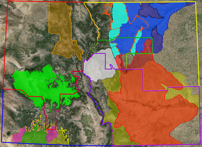
CDOT Region & Wetland Bank Map
Colorado Map
Updated April 2024
Combined into one Google Earth map are the 5 CDOT regions and wetland/stream mitigation banks currently approved for use by the U.S. Army Corps of Engineers. The map is dynamic and will be updated when new banks are approved. The KMZ file can be accessed by clicking on the download button after clicking on the link above.

