Guanella Pass

About the Byway
Length: 22 miles
Driving time: 1 hour
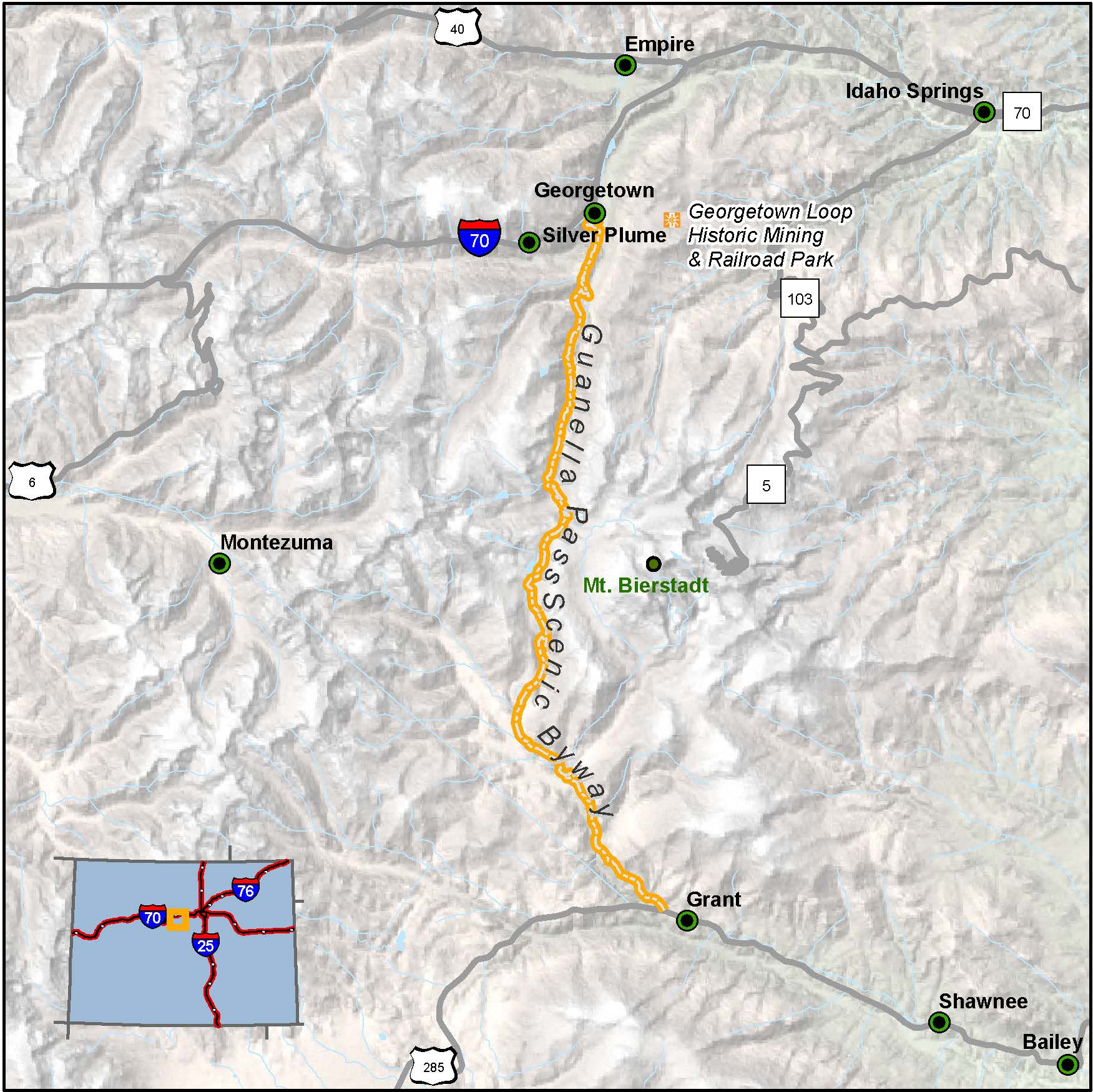
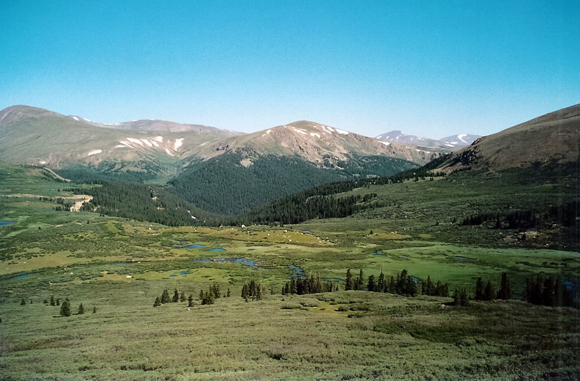
For a quick study in Rocky Mountain eco-systems, you could hardly find better instruction than here. This well-settled road leap-frogs the steep divide between the South Platte and Clear Creek watersheds, passing through a succession of distinct environments. The lower elevations are green and wet, thick stands of spruce, fir, aspen, and pine rising along cascading creeks. Higher up, the streams snake through broad meadows, succoring thirsty mammals, nesting birds, and the industrious beaver, The road crests well above timberline, where every spring the grasses and flowers stubbornly renew, and the fragile tundra thaws and blossoms. This old logging and mining area flanked by Mounts Bierstadt and Evans boasts two of the state's best-preserved Victorian towns, Georgetown and Silver Plume.
Guanella Pass Road is seasonally closed on or about Nov. 26, and reopens on Memorial Day weekend at Naylor Lake on the Clear Creek County side and Burning Bear Campground on the Park County side.
Features
- Historic Georgetown
- Georgetown Loop Historic Mining and Railroad Park
- Guanella Pass Trailheads
- MyScenicDrives Road Trip Map
Local Chamber(s) of Commerce
- Clear Creek County Tourism
- Georgetown
- Park County Visitor Resources
- Platte Canyon Area Chamber of Commerce
Byways Corridor Management
- Guanella Pass Scenic and Historic Byway Corridor Management Strategy (December 2001)
- Guanella Pass Scenic and Historic Byway Corridor Management Plan (May 2018)
- A Framework for Wayshowing: Guanella Pass Scenic & Historic Byway June 2013
Special Considerations
- When Guanella Pass Road is closed during the winter, the closure point is at Naylor Lake on the Clear Creek County side and at Burning Bear Campground on the Park County side.

