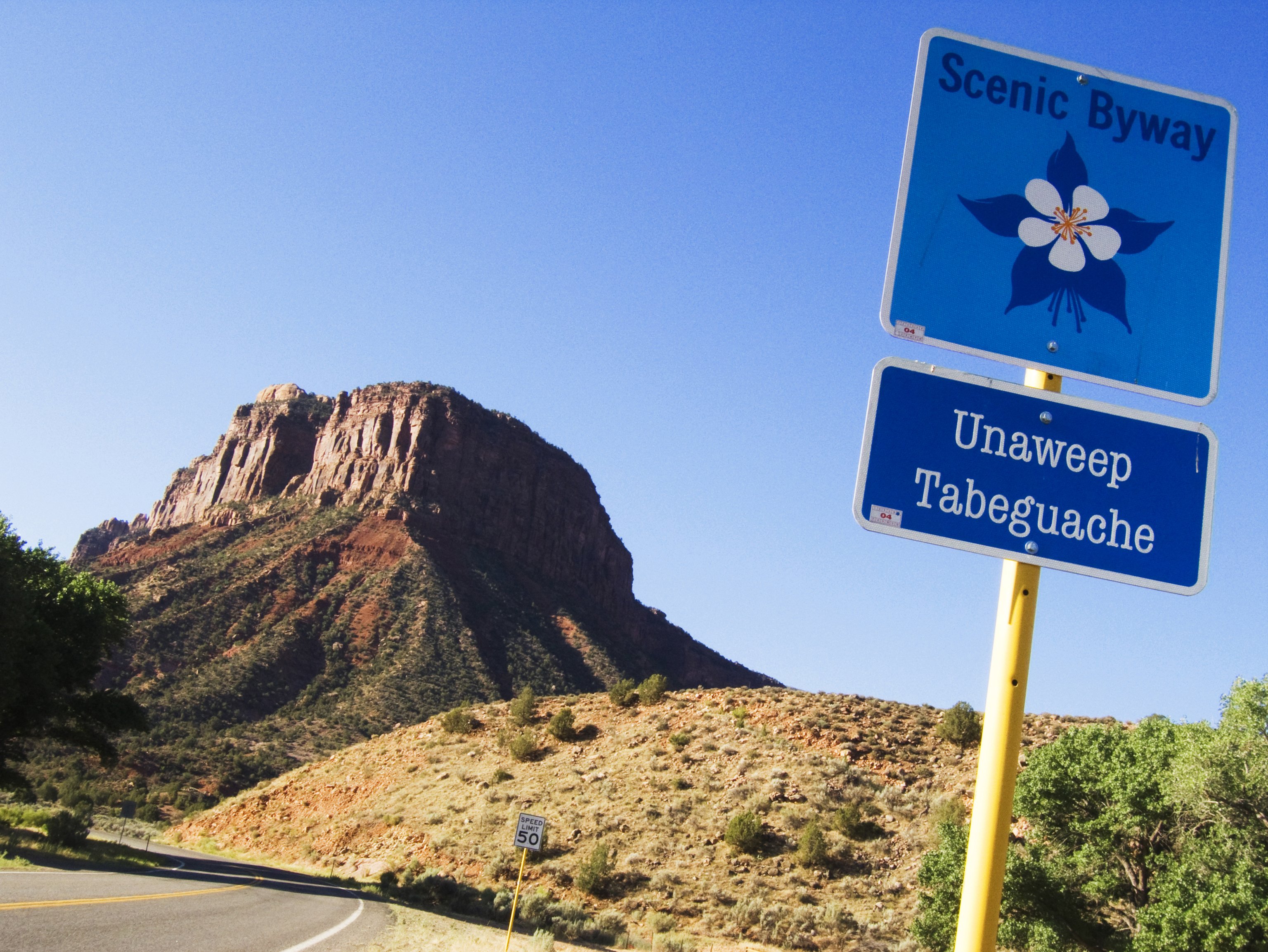
Unaweep Tabeguache

About the Byway
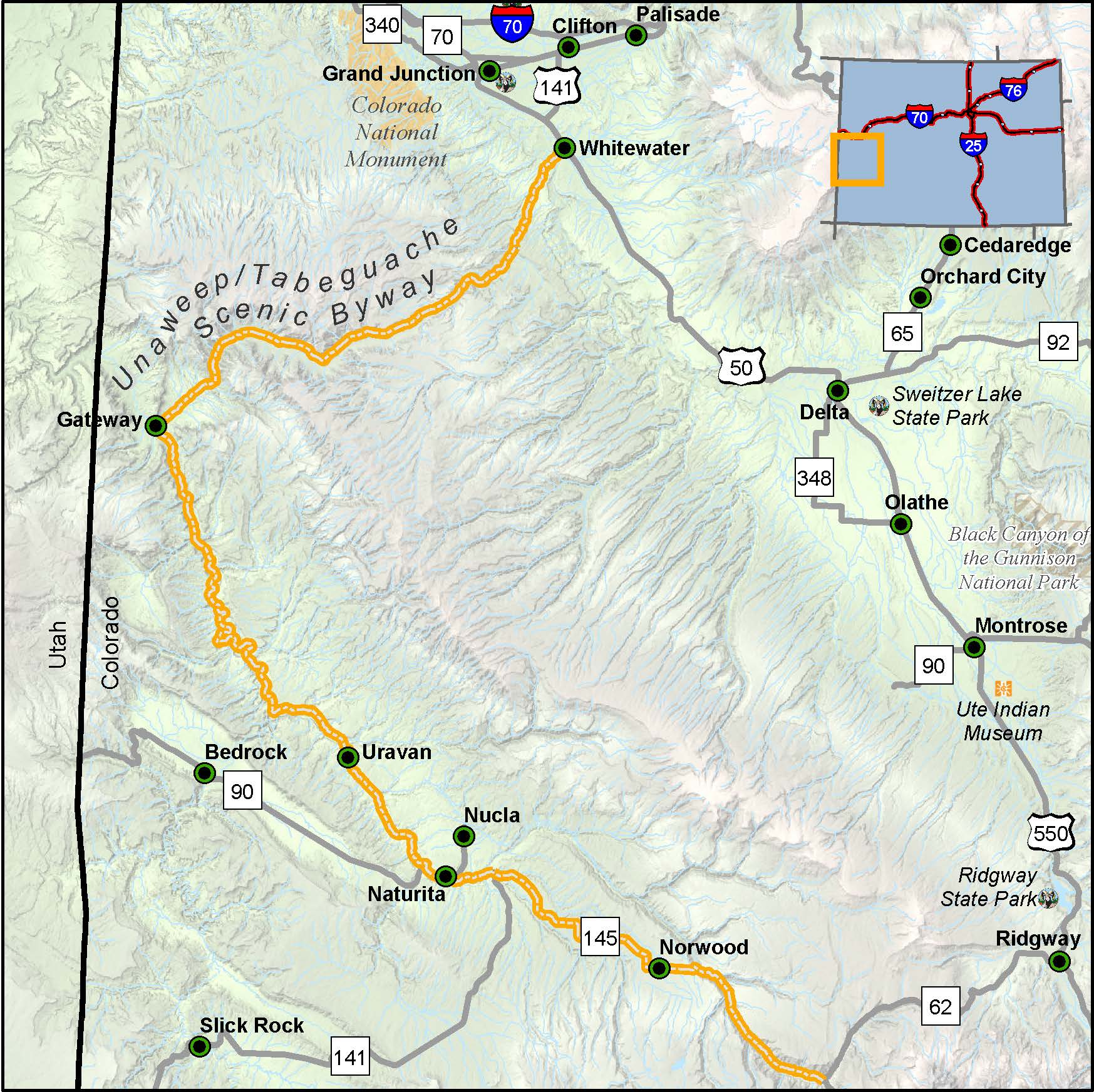
Length: 133 miles
Driving time: 3 hours
A fabulous journey through history, geology, culture and nature awaits you on the Unaweep-Tabeguache Scenic and Historic Byway. Consisting of Highways 141 and 145, the vast scenery along this byway will keep you inspired along your journey.
Unaweep Canyon knives through the soft red sandstone of the Uncompahgre Plateau all the way to Precambrian times. Ancient rivers silted the rock away, exposing hundreds of millions of years of the geologic record (including fossils of dinosaurs and early amphibians). Other secrets of the earth were ferreted out by miners with picks and shovels. The canyon witnessed a copper boom around the turn of the century; decades later, the U.S. Army processed ore from nearby Uravan to produce the uranium used in the first atomic bombs. Above all, this ageless desert region offers sheer scenic wonder - striated cliffs towering a thousand feet overhead, raging streams, and boundless skies.
Features
- Unaweep Tabeguache Visitor Center
- MyScenicDrives Road Trip Map
- Norwood, CO - Dark Sky Community
- San Miguel River Recreation Area
- Unaweep Seep
- Dolores and San Miguel Rivers
- Driggs Mansion
- West Creek Picnic Area
- Gateway Colorado Auto Museum
- Nature Conservancy's Tabeguache Creek Preserve
- Hanging Flume
- Dominguez and Escalante Expedition Historic Marker
- Nature Conservancy San Miguel Canyon Preserve
Local Chamber(s) of Commerce
Byways Corridor Management
- Unaweep Tabeguache Scenic and Historic Byway Management Plan (August 1995)
- Unaweep-Tageguache Byway Corridor Management Plan (September 2013)
- Unaweep Tabeguache Framework for Wayshowing
Special Considerations
- Bring full tank of gas, food and water.
- Don't litter; pack out your trash.
- Long intervals between service stops
- Obey posted speed limit signs.
- Plan your trip carefully. There are sections of the byway without fuel or cell service.
- Please do not touch any cultural artifacts.
- Respect private property. Much of the land adjacent to the byway is private. Bring binoculars to view distant scenery.
- Use caution and common sense when attempting to travel on any unpaved roads.
- Watch for wildlife and livestock on the roadway. Livestock has the right-of-way.
- Watch for falling rocks along the byway.
Unaweep Tabeguache Interpretive Visitor Center
230 West Main St.
Naturita, CO 81422
970-865-2350
[email protected]

